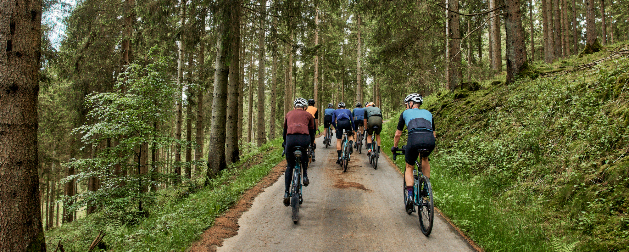
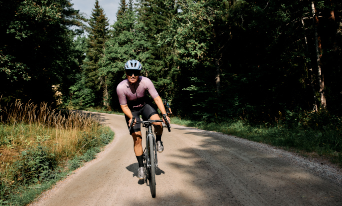
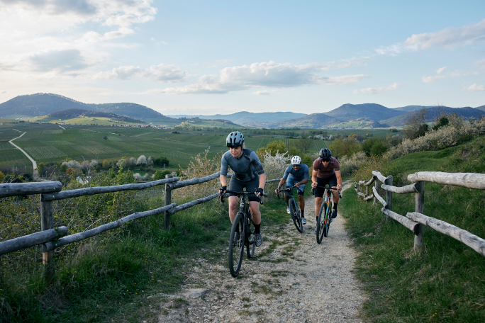
REBOUND is not your average lunch break spin. We are talking gravel, single-track, sand, mud, stones and what-have-yous. Are you not familiar with an off-road route nearby or do you want to perfect an existing route idea? Try using the Strava Route Builder. It will help you connect the dots, upgrade your route planning and inspire you with suggestions.

To get started with Strava, you can now access the free 60-day trial on Strava using the link below.

STRAVA OVERVIEW + SUBSCRIPTION

Strava makes fitness tracking social. We house your entire active journey in one spot – and you get to share it with friends. Here’s how:


Discover anywhere

Get out there and explore with Routes. This tool uses de-identified Strava data to intelligently recommend popular routes based on your preferences. Or take charge and plan a custom route with features like 3D Maps and POI that show community-powered hot spots at a glance. It's your adventure and Routes can help.


Record everything

All your gravel rides, cross training, runs, yoga and over 40 other sport types. Think of Strava as the homebase of your movement.


Build a support network

Strava’s about celebrating movement. Find your community on Strava to celebrate each other's activities, get inspired for your next adventure and keep your motivation high.


Train smarter

Get data insights to understand your progress and see how you improve. Your Training Log is the record of all your workouts.


Move safer

Use Beacon to share your real-time location with loved ones while outdoors for an extra layer of safety.


Join and create challenges

Join millions in monthly challenges to chase new goals, collect digital badges and stay accountable. Make sure to check out the Shimano REBOUND Challenge from 1st of June 2024!

Whether you’re a world-class athlete or you’re getting started, you belong here. Just record and go.

Strava

Trail Planning and Mapping with Strava

Introducing: Tools for the Trail

Strava’s Trail Networks is a goldmine that shows you where trails are clustered and makes planning your next gravel ride a cinch. These routes and the in-depth data about them come straight from our community’s billions of activity uploads. Dive into trail details today to get excited about going somewhere new!

Head over the Strava app on your phone, choose your preferred sport type (in this case Gravel Riding) and the map will show you areas where to go. Tap into a specific route and get all the info you need to feel confident going somewhere new.

Strava

Powered by Community

Trail Networks are created by the global community of over 100 million Strava athletes completing and uploading their activities. When a route is done over and over by all kinds of people, you know it's worth checking out.


Know When To Go

Each route has detailed data about how long it usually takes to complete and when in the year and the day it’s busiest. Explore in solitude or when you’ll have company.


All the Details You Need

Being sure of where the steepest hill will be on a route is game-changing. See that plus the terrain profile in a detailed chart right below the map.


Segments Changed the Game

There are two eras of endurance sport history: before segments, and after segments. Created by the millions of Strava athletes, segments mark popular stretches of trail (like your favorite local climb or a tricky stretch of trail) and create a leaderboard of times set by every Strava athlete who has been there before.


Offline? Your routes can be, too.

The best places to get off-road are often far from cell reception. Now, that’s one less thing to worry about. With a subscription, you can download routes to your phone for offline use. Star a route to save it, find it in the Routes section under your Profile.


Picture That: Photos of your fave Routes

We're making it easier to plan your adventures in one spot. Photos have officially started rolling out on Routes. Now, you can see what your route looks like before you even get there. Or maybe you'll be inspired to try a new Route that looks enticing. Featured photos can show you scenic views and even route condition details.